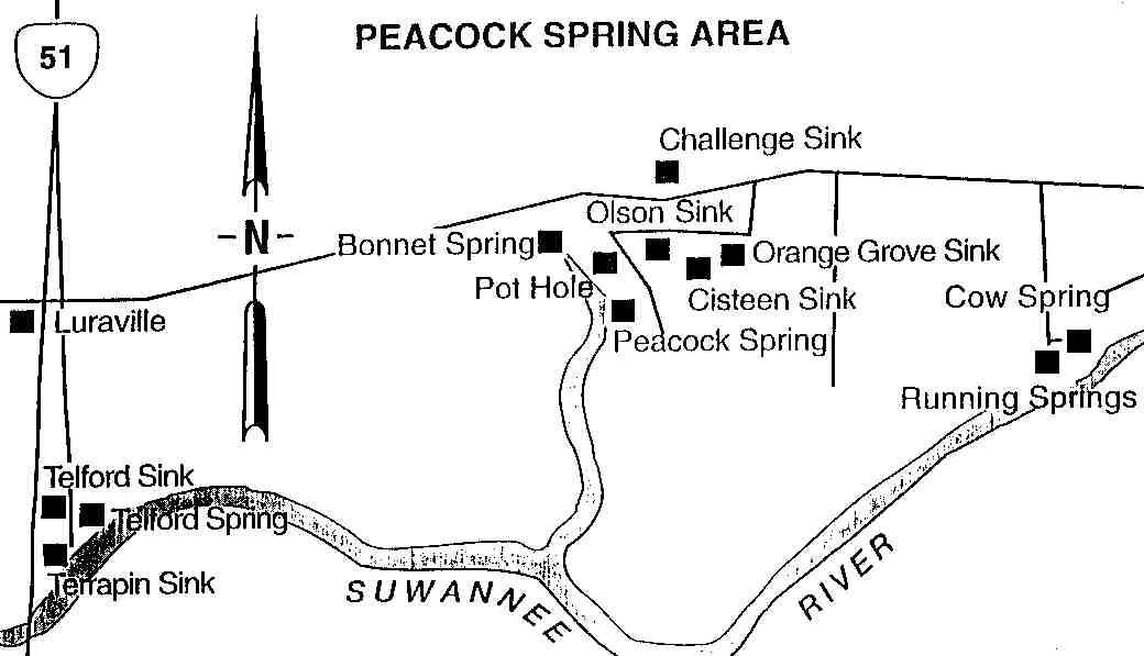
Location:
Telford springs is located off of State Road 51,
just north of the bridge over the Suwannee river. Turn onto the first dirt
road on the east (right) side when heading north from Mayo. The road is
located just across from the Agricultural Truck Inspection Station. Turn
right at the stop sign and head about a mile south until you get to the springs
(just before the boat ramp).
Description:
This site is close enough to the main road
to be used as a swimming and drinking hole for the yokels. Be sure to lock
your valuables out of sight. The trash build up is horrendous because of
all the careless rednecks. If you have a Dixie flag bumper sticker and
a pickup, you should be safe. The spring entrance is at the head of the
run to the Suwannee river. There are two nearby sinkholes which lead into
the system Telford II & III. Telford II is about 50 yards northeast
of the spring run with Telford III being about 100 feet further west (at
the end of the parking area). The average depth of this site is around
40-50 feet with visibility often fluctuating between 15-30 feet. The GUE
web page, here,
as some good information about this site including key features.
Click here for Telford Cave map (PDF)
Click here for Telford lower section map (PDF)
Click here for Luraville area map
Return to Florida
Cave, Caverns, and Sinkholes